

A hand-drawn map made by the two English surveyors whose names became a household phrase has sold for $1,187,500. Antique Trader reports that the original Mason-Dixon line map, surveyed, drawn and signed by Charles Mason and Jeremiah Dixon, went to an anonymous buyer at Brunk Auctions on October 29.
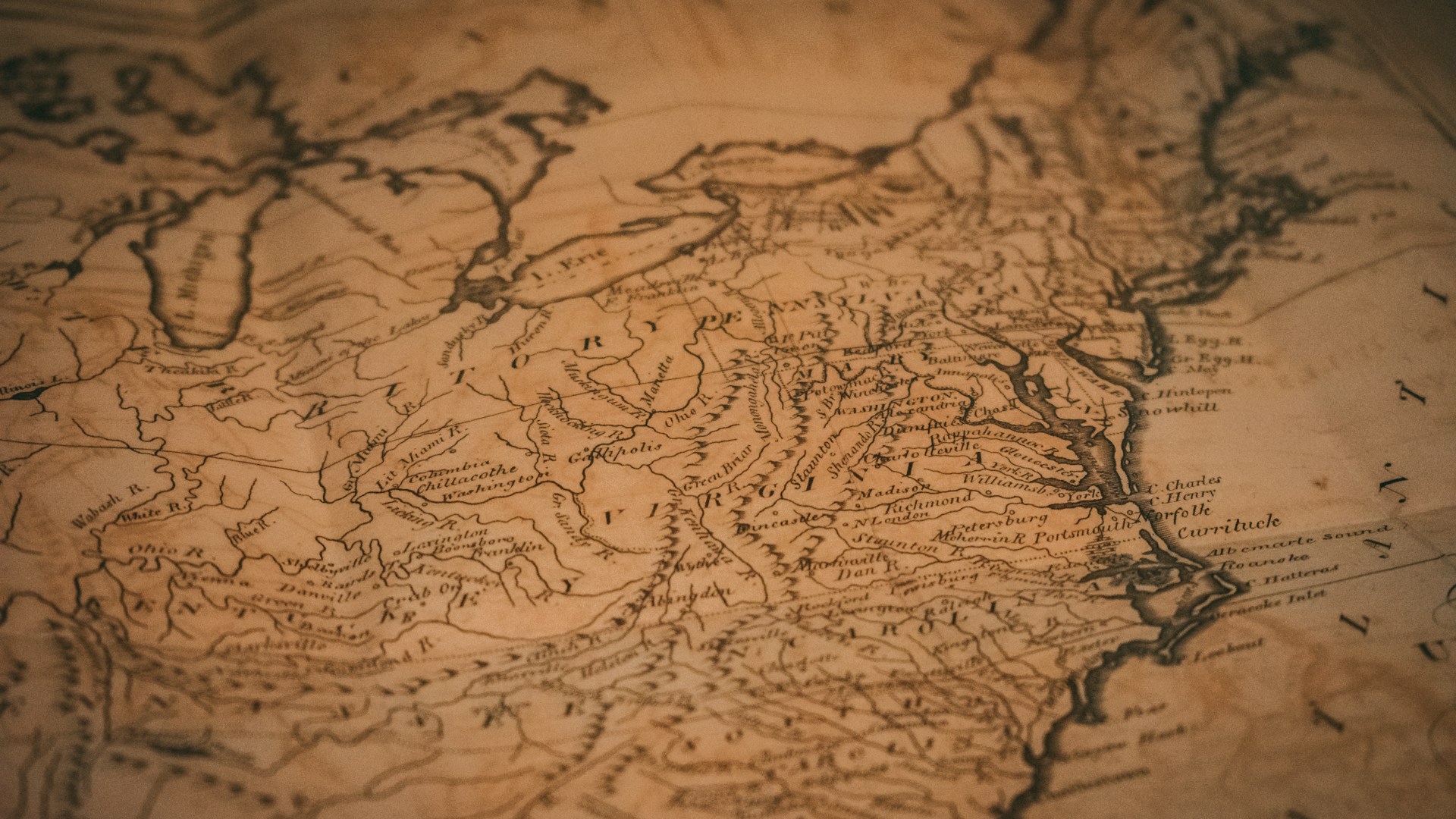
The price includes the buyer’s premium. The auction was held both online and in person at Brunk’s location in Asheville, North Carolina.
A Million-Dollar Result Just Short Of The High Estimate
Brunk had estimated the map at $800,000 to $1.2 million, according to the Associated Press, which covered the sale. The final price came in just under that top figure.
Forty-five bidders competed for it. Lauren Brunk, the auction house’s vice president, called it “a very high price for a map” and said she was “thrilled that this is going to a good home.”
Three other lots in the sale were also 18th-century maps showing borders between Maryland and Pennsylvania, and all three sold above their high estimates.
Library Of Congress Beat At The Auction The Last Time In 1982
This is not the first time the map has made headlines. After it passed through the family of Pennsylvania Commissioner Benjamin Chew, who first acquired it, his descendants sold it in 1982 along with other Colonial and Revolutionary-era documents at Christie’s.
Publisher Malcolm Forbes bid $360,000 and outbid the Library of Congress. The AP reported that this was the highest price ever paid at auction for an American map at the time.
Then it moved again. Antique Trader says another buyer paid $556,000 for it at a Christie’s auction in 2002, which means the map has more than tripled in value since the Forbes purchase.
The Library Of Congress Said It Could Not Afford A Rematch
This time the story had another twist. The AP reported that Brunk contacted the Library of Congress about bidding, but officials there said they could not afford it given current budgets.
Brunk said the library would still welcome the map if a private buyer acquired it for them. That leaves the door open for the new owner to share the map with the public someday.
Two Surveyors, One Disagreement Between Colonies, And A Line That Stuck
The reason this map exists goes back to an argument. The colonial charters for Maryland and Pennsylvania overlapped, and the boundary disputes grew worse as both colonies expanded westward.
Those quarrels turned violent in the 1730s in a conflict known as Cresap’s War. As part of the resolution, Mason and Dixon, who were English surveyors and astronomers for the Royal Society, were assigned to survey the border and confirm it.
They arrived in America in November 1763. Antique Trader says they delivered their two manuscript maps to Pennsylvania Commissioner Richard Peters in January 1767.
A Hard Survey That Helped Pioneer Measuring The Earth
The work was not easy. Antique Trader notes that the survey required help from Native American guides, and it is considered the first geodetic survey, which means it accounted for the size and curvature of the Earth.
That detail matters to collectors of scientific history. The map is not just a pretty parchment; it is a record of an early, ambitious feat of measuring across rough ground.
The boundary became known as “Mason and Dixon’s line,” a phrase that grew in importance in the decades leading up to the Civil War.
The Map Itself Is A Long, Narrow Strip
The AP described the document as a linen-backed strip measuring 76 inches long and 6.5 inches tall, mounted on backing made from Japanese rice paper. In other words, it is closer to a scroll than a map you could frame on a wall without thinking about it.
A separate vertical section showing the Delaware-Maryland border is held by Princeton University, so the full surveying effort is split across collections.
The sale was also livestreamed, which let bidders around the world follow the action. With 45 bidders in the mix, the map drew the kind of attention usually reserved for the biggest rarities in the collecting world.
Why Provenance Drives The Price
Notice how the map’s story reads like a paper trail. It was drawn by the surveyors, handed to a commissioner, kept by one family for more than two centuries and then sold at Christie’s in 1982 and again in 2002.
That chain of owners is what collectors call provenance, and it is a big part of why a document like this can command more than a million dollars. When the maker’s signature, the history and the rarity line up, buyers pay for all three.
A Dividing Line Visitors Can Still Walk Today
Today, Antique Trader says, the main divide marked by the Mason-Dixon line is mostly cultural. The line itself draws visitors for its hiking trails and historic markers.
The map remains an important part of U.S. history and the science of surveying. For now, it belongs to an anonymous buyer who paid $1,187,500 to take it home.
If you have old maps or family documents in a drawer, this sale is a reminder that signed, well-documented paper from the colonial era can be worth far more than anyone expects. An appraisal from a reputable auction house is a good first step.
More Stories You May Like
- Kubrick’s Own Director Chair, The Shining Grady Sisters Costumes And A Fiberglass Star Child Estimated At Up To $1,100,000 Hit The Auction Block For The First Time
- Grandma’s Forgotten Attic Jewels Found In A House Clearance Fetched £506,570, More Than Three Times The £150,000 Estimate, Including Signed Cartier And Art Deco Pieces
- Queen Went To Munich To Record Hot Space And Two Band Members Disliked It, Yet It Kicks Off A List Of 10 Albums That Deserve A Second Chance

Leave a Reply