

You feel the weight of this loss before you finish the first paragraph: two skiers died in a backcountry avalanche near Longs Pass, and their community is already gathering memories and tributes. This article explains what happened on the trip, why conditions mattered, and how friends and family are honoring the two lives lost.
They traveled into rugged terrain seeking untracked snow; the avalanche struck on a steep slope late in the afternoon, leaving two people dead and two survivors to summon help. Expect a timeline of the incident, clear details about avalanche risk that day, and personal remembrances that show how the community is responding.
Tragic Avalanche at Longs Pass
A hard slab avalanche struck a group recreating near Longs Pass in the Teanaway River drainage, killing two and leaving two survivors. The incident drew multiple agencies for search and rescue, and families have begun public tributes.
Details of the Incident
Four men were touring in steep, high-elevation terrain near Longs Pass, about 17 miles north of Cle Elum in Kittitas County, when a hard slab avalanche broke on January 9, 2026. The group had skied west-facing slopes earlier and moved to a south-facing slope between roughly 5,300 and 6,300 feet when the avalanche released. Two members were fully buried and later found deceased; two others were partially buried and survived. The Northwest Avalanche Center characterized the slide as a hard slab failure. Weather that day included variable temperatures and a forecast of moderate avalanche danger for parts of the Cascades.
Victims’ Identities and Background
Authorities identified the deceased as Paul Markoff and Erik Henne. Both men had backcountry experience and were part of a group of friends on a planned outing. Local reports and family statements describe them as experienced recreationalists who knew avalanche safety basics. Tributes from friends and relatives highlighted their connection to Central Washington and to communities near Snoqualmie Pass and North Bend. Kittitas County officials confirmed identities through the coroner’s office before public release.
Timeline of Search and Rescue Operations
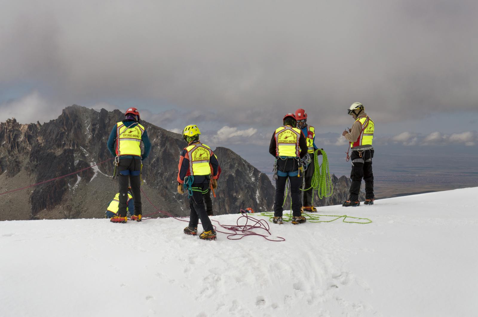
The avalanche occurred in the afternoon; a distress call prompted immediate response. Kittitas County Sheriff’s Office coordinated initial field teams and requested airborne support. Guardian 2 helicopter and other aerial resources aided reconnaissance and helped pinpoint search areas. Ground search and rescue teams from multiple agencies used avalanche transceivers, probes, and dogs to locate buried subjects. Rescue teams extricated survivors on scene and transported them for medical evaluation. Recovery of the two deceased required careful, staged operations due to unstable snow and steep terrain, extending the timeline into evening hours.
Recovery Efforts and Official Statements
Search and rescue efforts involved Kittitas County Sheriff’s Office, volunteer SAR units, and regional partners tied into the Okanogan-Wenatchee National Forest response. Officials emphasized responder safety given ongoing avalanche risk and complex slope conditions. The Kittitas County coroner later handled identification and next-of-kin notifications. The Northwest Avalanche Center released a detailed incident report describing the hard slab dynamics at Longs Pass and advising caution in similar terrain. County spokespeople urged backcountry users to carry rescue gear, check current avy forecasts, and travel conservatively in steep, wind-loaded slopes.
Avalanche Risk, Conditions, and Community Response
The snowpack was unstable that day, with recent heavy snowfall and wind loading creating fragile layers. Local forecasts had flagged elevated risk across parts of the Cascades, and teammates carried standard backcountry safety gear.
Unstable Snowpack and Contributing Factors
Rapid recent snowfall and wind transport built slabs on top of weaker layers, increasing the likelihood of large, human-triggered slides in steep terrain. Observers noted temperature fluctuations that morning, which can weaken bonds between snow layers and create persistent weak layers several feet deep.
The slope where the slide occurred included steep aspects known for wind-loaded cornices and slab formation. Backcountry skiers often encounter variable snow conditions east of the Cascade crest; even experienced parties can be caught off-guard when a slab releases on a loaded face.
Carrying avalanche beacons, probes, shovels, and a satellite communicator like a Garmin device matters, but equipment cannot eliminate risk. Rapid rescue improves survival odds, yet burial depth and terrain hazards still determine outcomes.
Northwest Avalanche Center Assessment
The Northwest Avalanche Center (NWAC) had issued a regional forecast that included elevated danger on similar slopes, noting recent storms and wind as primary drivers. The NWAC emphasizes evaluating specific slope angle, aspect, and recent human activity before committing to a descent.
NWAC bulletins often advise conservative terrain choices on days with heavy snowfall and wind loading. Forecasts combine field observations, recorded avalanche activity, and weather models to update danger ratings throughout the day.
Local responders and volunteers referenced the NWAC forecast when briefing crews, and the center’s real-time observations help backcountry users make informed decisions about route selection and travel group protocols.
Impact on the Backcountry Community
The deaths resonated in towns like North Bend and Snoqualmie Pass, where the two victims were known; friends and family shared condolences and safety reminders online. Community groups and ski clubs organized equipment checks and free beacon-practice sessions in response.
Media outlets such as SnowBrains and KOMO News reported details that amplified calls for caution among winter recreationists. Local search-and-rescue teams highlighted the difficulty of operating in remote Cascade Mountains terrain and urged monitoring the NWAC avalanche forecast before any trip.
After the incident, experienced guides and local backcountry users reiterated basic risk-reduction steps: check the NWAC forecast, assess the slope in person, travel one at a time on suspect slopes, and carry a shovel, probe, beacon, and reliable communicator.
More from Vinyl and Velvet:
Leave a Reply